17.Terradillos-Mansilla de las Mulas
Stage Hostels
STAGE
Sections
(1) Terradillos de Los Templarios-(2) Moratinos: 0-3 km
(2) Moratinos-(3) San Nicolás del Real Camino: 3-5,5 (2,5 km)
(3) San Nicolás-(4) Sahagún: 5,5-12,4 (6,9 km)
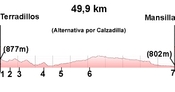
Alternative via Calzadilla de los Hermanillos
(4) Sahagún-(5) Calzada del Coto: 12,4-17,6 (5,2 km)
(5) Calzada del Coto-(6) Calzadilla de los Hermanillos: 17,6-26 (8,4 km)
(6) Calzadilla-(7) Mansilla: 26-49,9 (23,9 km)
Alternative via El Burgo Ranero
Sahagún-Bercianos del Real Camino: 12,4-22,7 (10,3 km)
Bercianos-El Burgo Ranero: 22,7-29,8 (7,1 km)
El Burgo Ranero-Reliegos: 29,8-43 (13,2 km)
Reliegos-Mansilla: 43-49,2 (6,2 km)
Elevation gain: 335 m
Elevation loss: 410 m
Description
In this stage, two alternatives arise from Sahagún: via Calzadilla de los Hermanillos or via El Burgo Ranero
Via Calzadilla: this alternative is 1.7 km longer and has less shade.
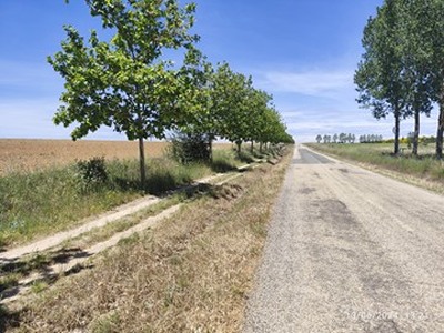
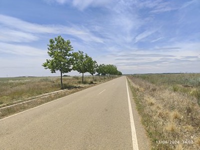
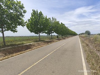
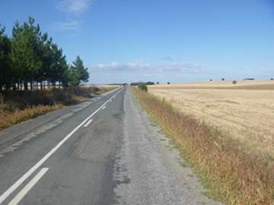
Via El Burgo Ranero: follows a path along a road with very little traffic. The path is lined with trees, providing shade on hotter days (see photos of the alternative via Burgo Ranero).
For cyclists, we recommend the El Burgo Ranero route.
We chose to end this stage in Mansilla, where the two alternatives converge, which is why this stage is so long. However, if you take the Calzadilla route, at km 29.6 (see the green route on GoogleMap), there is a road leading to El Burgo Ranero. Additionally, near Reliegos, there is a path connecting both alternatives.
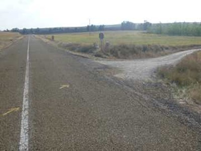
(1) Terradillos de Los Templarios-(2) Moratinos: 0-3 km
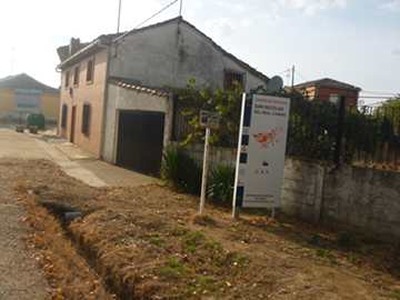
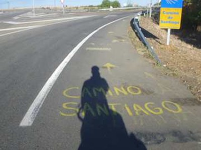
We leave Terradillos on a dirt track (photo 1) that leads to a small secondary road (photo 2), which we follow for 400 meters before leaving it via a path on the right (photo 3), leading us directly to Moratinos (photo 4).
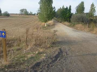
(2) Moratinos-(3) San Nicolás del Real Camino: 3-5,5 (2,5 km)
A dirt track (photo 5) takes us without further complications to San Nicolás del Real Camino (photo 6).
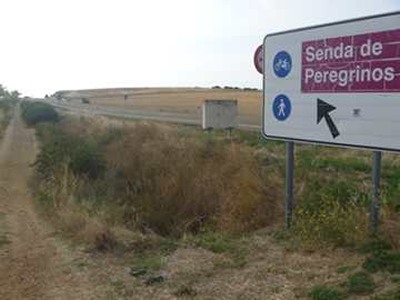
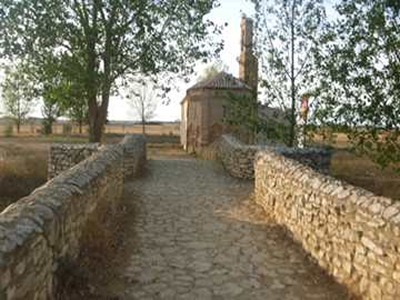
(3) San Nicolás-(4) Sahagún: 5,5-12,4 (6,9 km)
We cross San Nicolás and soon reach the N-120 (photo 7), which we follow until km 9.9 (photo 8). Here, arrows indicate turning right towards the Mudejar-style hermitage of Virgen del Puente (photo 9). After the hermitage, the path turns left to rejoin the N-120. If we don't want to visit the hermitage, we can continue along the N-120 until arrows direct us to turn left towards the center of Sahagún.
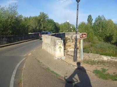
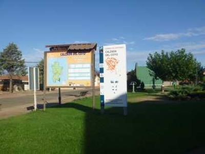
(4) Sahagún-(5) Calzada del Coto: 12,4-17,6 (5,2 km)
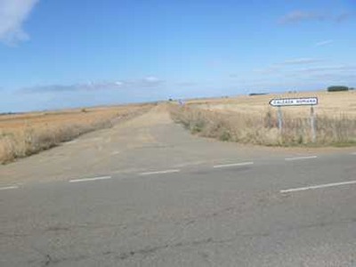
We leave Sahagún via the Canto bridge (photo 10) over the Cea river and continue along the N-120 until km 17.2 (photo 11), where we must choose which alternative to follow. Continuing straight takes us to El Burgo Ranero. Turning right along the Calzadilla de los Hermanillos route quickly brings us to Calzada del Coto (photo 12b).
Alternative via Calzadilla
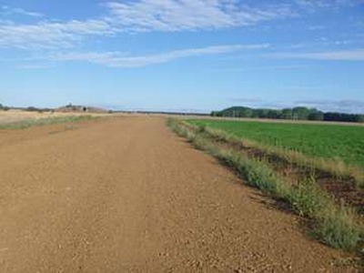
(5) Calzada del Coto-(6) Calzadilla de los Hermanillos: 17,6-26 (8,4 km)
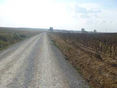
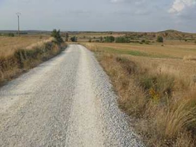
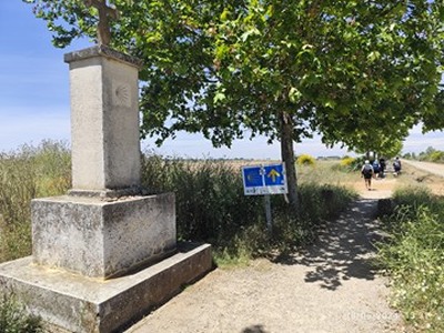
We cross Calzada del Coto and take a wide dirt path (photos 13b and 14b), which leads directly to Calzadilla de los Hermanillos (photo 15b).
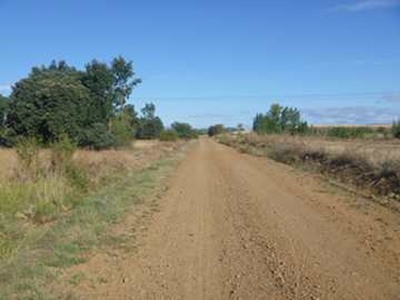
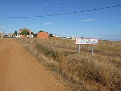
(6) Calzadilla-(7) Mansilla: 26-49,9 (23,9 km)
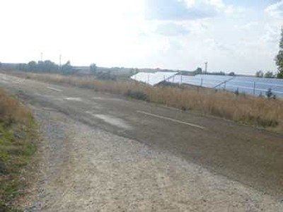
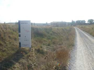
We cross Calzadilla and exit via the secondary road CV-196 (photo 16b) until km 29.6 (photo 17b). Here, the path continues straight on a dirt track to Mansilla. However, due to the length of this stage (23.9 km), we have the option to turn left onto the road that leads to El Burgo Ranero in 3 km. Later on, we also have the option to detour to Reliegos (see green alternatives on the map).
Alternative via El Burgo Ranero
The entire route between Sahagún and Mansilla runs parallel to the road (photos 12a, 13a, 14a, and 15a).
Photos
1 km 0,6
2 km 1,3
3 km 1,7
4 km 3,0 Entry into Moratinos
5 km 4,9
6 km 5,5 Entry into San Nicolás
7 km 6,1
8 km 9,9
9 km 10,1
10 km 13,5
11 km 17,2 Detour alternative
Alternative Burgo Ranero
12a km 25,0
13a km 25,5
14a km 31,5
15a km 44,5
Alternative Calzadilla de los Hermanillos
12b km 17,6
13b km 19,5
14b km 22,3
15b km 26,0
16b km 28,4