Sections
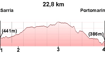
(1)Sarria-(2)Barbadelo: 3.5-4.3 km
(2)Barbadelo-(3)Ferreiros: 4.3-13.5 (9.2 km)
(3)Ferreiros-Portomarin: 13.5-22.8 (9.3 km)
Elevation gain: 548 m
Elevation loss: 603 m
Description
In this stage, we leave behind the 100 km mark to Santiago. It is a beautiful stage with gentle slopes that runs through dense vegetation and passes through many small villages, typical of this part of Galicia.
(1)Sarria-(2)Barbadelo: 3.5-4.3 km
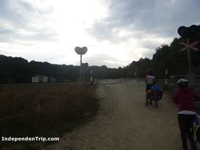
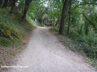
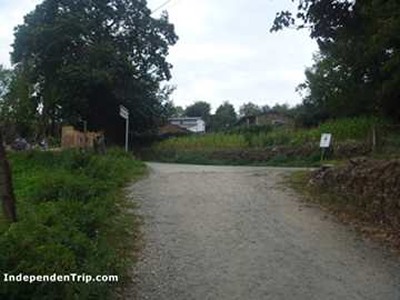
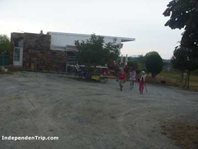
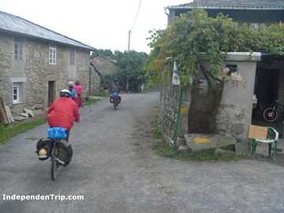
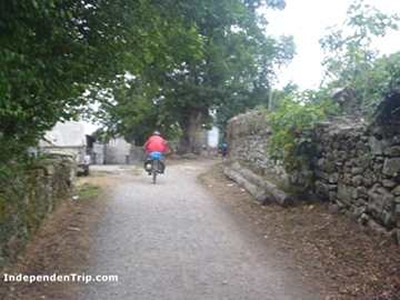
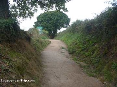
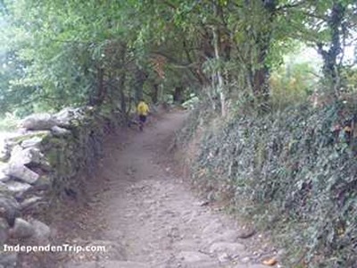
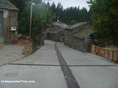
We leave the old town of Sarria, and at km 1.8 (photo 1), we cross the railway line. We continue on a beautiful uphill path (photo 2) to the village of Vilei (photo 3). At this point, we take a small paved road that leads us to Barbadelo in 800 meters.
(2)Barbadelo-(3)Ferreiros: 4.3-13.5 (9.2 km)
In this section, we pass the symbolic 100 km mark to Santiago, the minimum distance for those walking to earn the compostela.
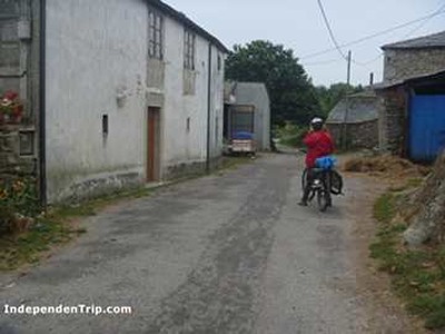
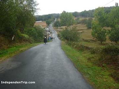
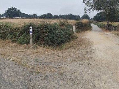
We continue along the same small paved road to reach Rente (Km 5.2) and Mercado da Serra (Km 6.0), located at the crossroads with the LU-5709 road, where there is a bar. After crossing the road, we take a tree-lined dirt path that, following the arrows, will lead us to cross the LU-633 road. Immediately after crossing, we find Leiman (Km 8.2) (photo 4), where there is a bar. Following the same path, we reach Perruscallo (photo 5 km 9.0), and later Cortiñas (photo 6 km 9.9), Brea (photo 7 km 11.4), and Morgade (Km 12, with a bar and hostel). We continue along the path (photo 8) and arrive in Ferreiros, where there is a hostel.
(3)Ferreiros-(4)Portomarín: 13.5-22.8 (9.3 km)
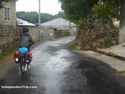
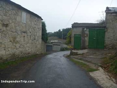
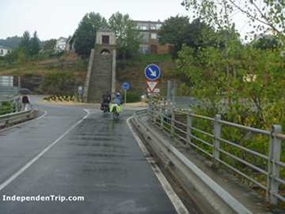
We leave Ferreiros on a small road (photo 9), continuing along paths and dirt tracks with gentle slopes. We pass through Mirallos (photo 10 km 14.2), A Pena (photo 11 km 14.9), Mercadoiro (where there is a hostel) (photo 12 km 16.0), Moutras (photo 13 km 18.6), A Parrocha (photo 14 km 19.6), and arrive in Vilachá, from where we can already see Portomarín on the banks of the Miño River. We reach Portomarín by a bridge that crosses the Miño River. At the end of the bridge (photo 15), we can turn right for an uphill path that leads to the center of Portomarín. If we do not want to stop in Portomarín, we will turn left without entering the town.