26.Triacastela-Sarria
Stage Hostels
STAGE
Sections
(1)Triacastela-(2)Balsa:0-2.3 km
(2)Balsa-(3)San Xil: 2.3-4 (1.7 km)
(3)San Xil-(4)Montán: 4-7.9 (3.9 km)
(4)Montán-(5)Furela: 7.9-10.5 (2.6 km)
(5)Furela-(6)Pintin: 10.5-11.5 (1 km)
(6)Pintin-(7)Calvor: 11.5-12.8 (1.3 km)
(7)Calvor-(8)Aguiada: 12.8-13.4 (0.6 km)
(8)Aguiada-(9)San Mamede: 13.4-14.1 (0.7 km)
(9)San Mamede-(10)Sarria: 14.1-18 (3.9 km)
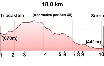
Elevation gain: 380 m
Elevation loss: 609 m
Description
At the end of the main street in Triacastela, we find a sign (photo 1) showing the two options for the day. If we turn right, we'll head through San Xil; if we turn left, we'll head through Samos. Both options are beautiful. The San Xil variant is 6 km shorter and offers very scenic views. The Samos option is longer with more road walking, but it provides the opportunity to visit the Samos Monastery. In this guide, we opted for the San Xil variant as the main route due to its more beautiful scenery.
(1)Triacastela-(2)Balsa: 0-2.3 km
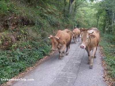
At the end of the main street in Triacastela, we find a sign (photo 1) showing the two options for the day. We turn right, cross the road, and head towards San Xil. On an incline and through a dense forest (photo 2), we reach the four houses that make up the village of Balsa (photo 3).
(2)Balsa-(3)San Xil: 2.3-4 (1.7 km)
We pass through Balsa and continue up a steep climb to reach San Xil (photo 4).
(3)San Xil-(4)Montán: 4.0-7.9 (3.9 km)
The path continues to climb, though more moderately, through fields that take us to the top of Riocabo, where we can view the Sarria valley. From there, the path descends to Montán (photo 5).
(4)Montán-(5)Furela: 7.9-10.5 (2.6 km)
Going downhill through oak woods, we follow the path to the local road LU-5602, which takes us into Furela (photo 6).
(5)Furela-(6)Pintin: 10.5-11.5 (1 km)
We pass through Furela and exit via the road, which we soon leave by taking a path on the right that leads us to Pintin (photo 7).
(6)Pintin-(7)Calvor: 11.5-12.8 (1.3 km)
We leave Pintin via the road and more or less follow its course to Calvor.
(7)Calvor-(8)Aguiada: 12.8-13.4 (0.6 km)
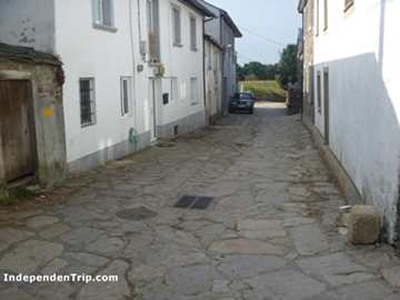
Following the road, just before reaching the town, we turn towards the center of the village of Aguiada (photo 8). At this point, the alternative route via Samos converges.
(8)Aguiada-(9)San Mamede: 13.4-14.1 (0.7 km)
Following the road, we arrive in San Mamede, where the only facility is a hostel.
(9)San Mamede-(10)Sarria: 14.1-18 (3.9 km)
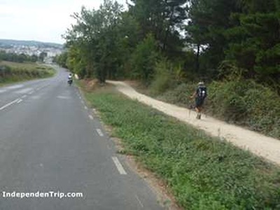
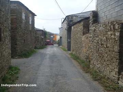
We continue along the road (photo 9), and along a footpath, we reach Sarria.
Variant through Samos
At the end of the main street in Triacastela, we turn left and take the LU-633 road until we leave it to the right towards San Cristobal do Real (Km 4). We exit the village and follow a path along the Ouribio River valley. We pass through the villages of Renche, Lastres, Freituxe, and San Martiño do Real before reaching Samos.
We leave Samos via the LU-633 road. Two km from Samos, we leave the road and follow an uphill path. Following the arrows, we pass through the hamlets of Pascais, Gorolfe, Veiga de Reiriz, Sivila, and Perros. From Perros, a short climb takes us to the main path at the height of Aguiada, where the San Xil variant converges.
Photos
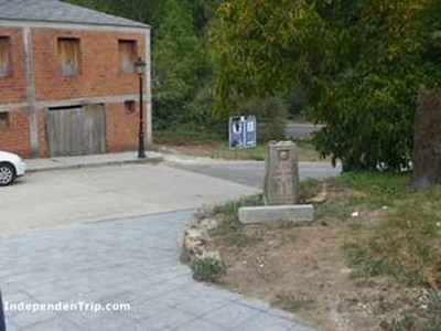
1 km 0.6 Sign Samos San Xil
2 km 1.7
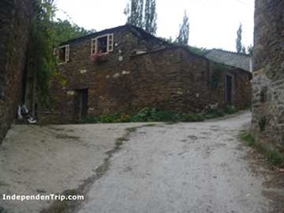
3 km 2.3 Balsa
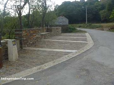
4 km 4.0 San Xil
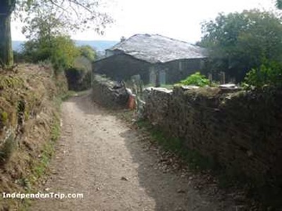
5 km 7.9 Montán
6 km 10.5 Furela
7 km 11.5 Pintin
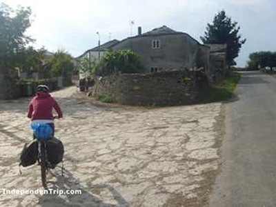
8 km 13.4 Aguiada