Silver Way - Vía de la Plata Stages
Complete Guide to the Vía de la Plata Route
The Vía de la Plata Route is the longest, most historic, and most monumental route of the Camino de Santiago. It is a millennia-old itinerary that largely follows the layout of the ancient Roman road Ab Emerita Asturicam, used since Roman times to connect the south and north of Hispania. This Jacobean route crosses the Iberian Peninsula from south to north, passing through the territories of Andalusia, Extremadura, Castile and León, and Galicia, and connecting some of the most important historic cities in the country.
The Vía de la Plata is the most **extensive, cultural, heritage-rich, and solitary** route of the Jacobean system, combining history, archaeology, spirituality, nature, vast open landscapes, and a deeply authentic pilgrim experience.
Where does the Vía de la Plata begin?
Traditional starting point of the Vía de la Plata Route
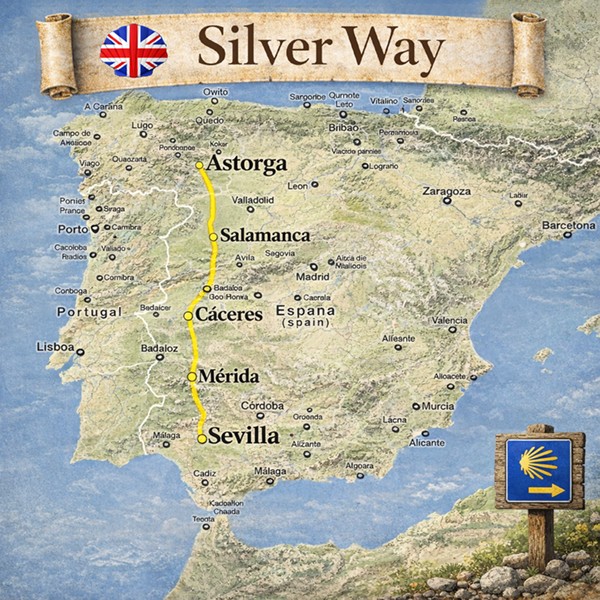
- Main starting point: Seville (Andalusia)
- Common alternatives: Mérida, Cáceres, Salamanca
- Approximate total distance: 1,000 km
- Number of stages: 38–42 stages (depending on planning)
- Right to Compostela: Yes
- Type of route: urban areas, dehesas, plains, mountains, rural zones
- Profile: experienced pilgrims, lovers of solitude and history
Stages of the Vía de la Plata Route
The Vía de la Plata Route has an approximate length of 1,000 km from Seville to Santiago de Compostela. Traditionally, it is structured into around 40 stages, making it the longest route in the Jacobean system.
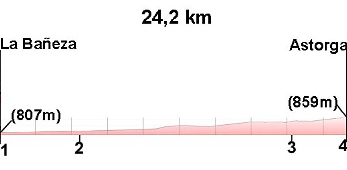
From Astorga, the Vía de la Plata joins the French Way.
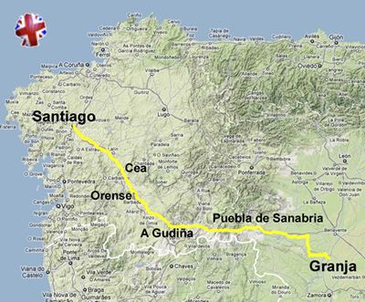
Alternatively, many pilgrims choose the Sanabrés Way from Granja de Moreruela, continuing through Zamora, Ourense, and Galicia to Santiago.
This double bifurcation makes the Vía de la Plata one of the most versatile routes of the Camino de Santiago, allowing multiple route combinations.
Frequently asked questions about the Vía de la Plata
How many kilometers long is the Vía de la Plata?
The Vía de la Plata is approximately 1,000 km from Seville to Santiago de Compostela.
How many days does it take to walk the Vía de la Plata?
Between 38 and 45 days, depending on pace, planning, and the chosen variant.
Where does the Vía de la Plata begin?
The traditional starting point is Seville, although many pilgrims start in Mérida, Cáceres, or Salamanca.
Is the Vía de la Plata difficult?
Yes. It is considered one of the most demanding routes of the Camino de Santiago due to its length, climate, isolated stretches, and limited infrastructure.
What is the best time of year to walk it?
Spring and autumn. Summer is very harsh due to extreme heat in Andalusia and Extremadura.
Does it grant the right to Compostela?
Yes. It far exceeds the minimum 100 km required.
Historical importance of the Vía de la Plata
The Vía de la Plata is one of the oldest routes on the Iberian Peninsula. Of Roman origin, it was later reused as a Christian pilgrimage route to Santiago de Compostela. Cities such as Itálica, Mérida, Cáceres, Salamanca, Zamora, and Astorga form part of one of the most important historical axes in peninsular history.
Stages of the Vía de la Plata (Seville – Astorga)
Total distance Seville – Astorga: 677.4 km
Vía de la Plata Statistics
In this guide, at Peregrino Online we have structured the itinerary into two distinct routes: the Vía de la Plata and the Sanabrés Way. Both routes separate in the town of Granja de Moreruela, where the pilgrim can choose to continue towards Astorga to connect with the French Way or take the Sanabrés Way variant towards Galicia.
In some guides, both itineraries appear unified into a single route, but at Peregrino Online we believe this distinction provides greater clarity, geographical coherence, and informational value for the pilgrim. Nevertheless, the statistical data presented below correspond to the combined total of the Vía de la Plata and the Sanabrés Way.
Pilgrimage data
In 2025, nearly 9,000 pilgrims walked all or part of the Vía de la Plata. The main starting points were:
- Ourense: approximately 4,500 pilgrims
- Seville: approximately 1,800 pilgrims
At a greater distance, with fewer than 300 pilgrims per year per town, other starting points include Salamanca, Zamora, and Granja de Moreruela, confirming the decentralized and flexible nature of the itinerary.
Trends and flow
In recent years, the Vía de la Plata has maintained a stable average of approximately 9,000 pilgrims per year, reflecting a constant and sustained flow, without overcrowding peaks.
Unlike other routes such as the French Way or the Portuguese Way, the Vía de la Plata does not suffer from saturation problems, making it an ideal option for pilgrims seeking a more peaceful, authentic, and solitary experience.
Months with the highest number of pilgrims
The month with the highest influx is May, followed by June and July.
Climate is a determining factor in choosing dates:
- Pilgrims starting in Seville usually choose April, May, September, and October, avoiding months of extreme heat.
- Those starting in Galicia mainly choose June and July, taking advantage of the milder climate.
Pilgrim profile
56% of pilgrims who walk the Vía de la Plata are of Spanish nationality.
Among international pilgrims, the main nationalities are:
- Portugal
- Italy
- Germany
- United States
- United Kingdom
- France
Ways of walking the Vía de la Plata
The vast majority of pilgrims walk the Vía de la Plata on foot, although approximately 12% choose to do it by bicycle.
It is a long itinerary, with nearly 1,000 km from Seville, representing a significant physical challenge for walkers. However, due to its route continuity, progressive profile, and low overcrowding, the Vía de la Plata is considered one of the best Camino de Santiago routes to do by bicycle.
Planning the Vía de la Plata
Days required
Between 38 and 45 days from Seville.
Best season
Spring and autumn.
Difficulty
High due to distance, climate, and logistics.
Infrastructure
- Limited network of hostels
- Spaced-out services
- Variable signage
- High level of self-sufficiency required
Pilgrim preparation
- High physical preparation
- Prior logistical planning
- Water and food management
- Sun protection
- Appropriate technical equipment
- Orientation skills
Who is the Vía de la Plata ideal for?
- Experienced pilgrims
- Seekers of solitude and silence
- Lovers of ancient history
- Deeply spiritual pilgrims
- Long-distance travelers
- People seeking real authenticity
Advantages of the Vía de la Plata
- Longest route of the Camino
- Deeply spiritual experience
- Low overcrowding
- Roman and medieval heritage
- Wild nature
- Pilgrim authenticity
The Vía de la Plata within the Camino de Santiago
The Vía de la Plata is the south–north axis of the Jacobean system. It represents the most ancestral, demanding, and authentic route of the Camino de Santiago and is considered by many pilgrims to be the purest way to experience the Jacobean pilgrimage.
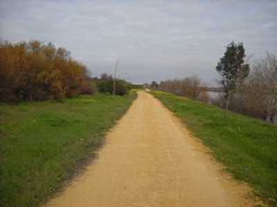
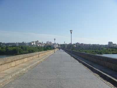
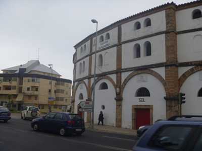
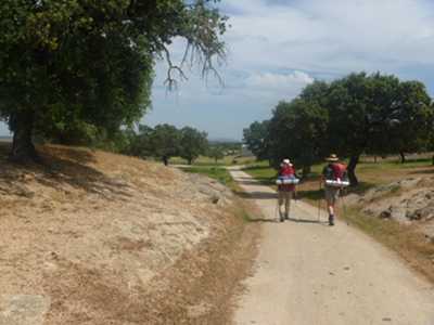
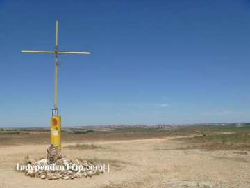
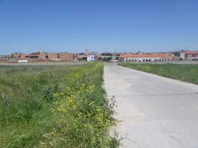
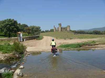
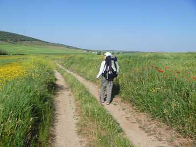
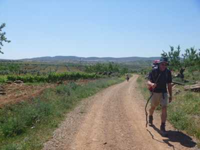
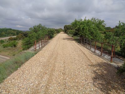
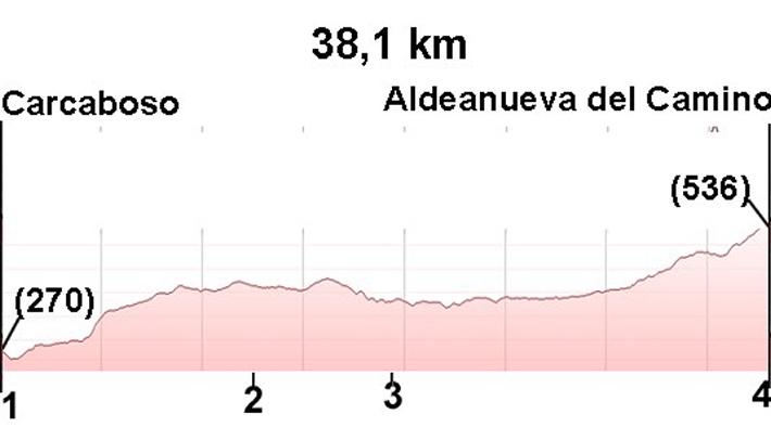
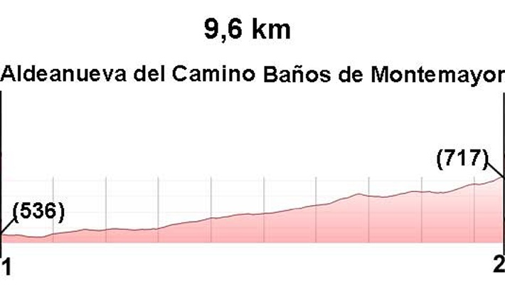
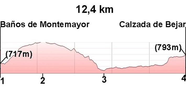
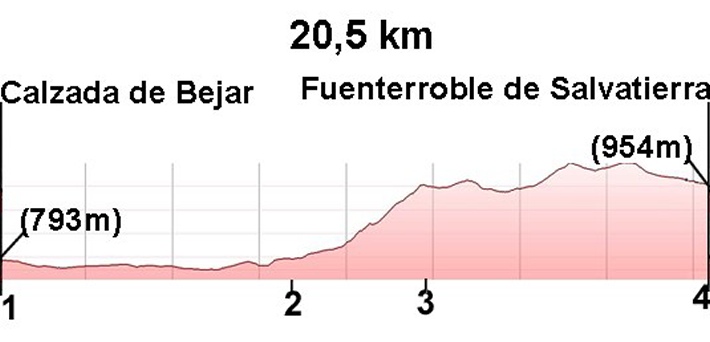
The Vía de la Plata in images