Sections
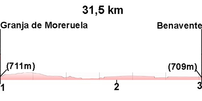
(1)Granja de Moreruela- (2)Barcial del Barco: 0-17,5 km
(2)Barcial del Barco-(3)Benavente: 17,5-31,5 (14 km)
Description
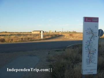
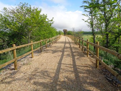
ATTENTION: From Barcial del Barco we recommend following the "Via Verde" (see green path). It is a new, shorter and more beautiful path. The original is still indicated in yellow but we recommend continuing on "Via Verde" (see map and photos)
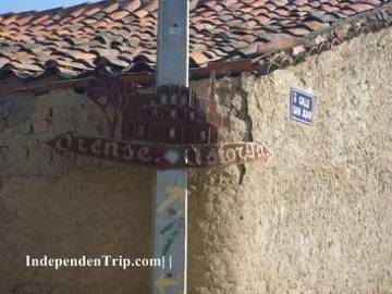
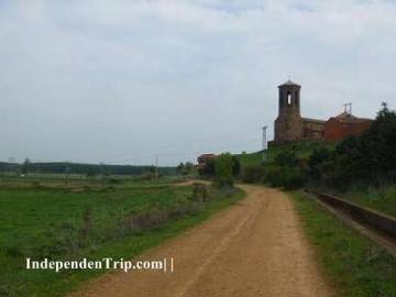
We take a right out of the hostel of Granja de Moreruela and continue along the other side of the N-630. After 150 metres we take a left towards the town centre where we come to one of the most important parts of the camino: here the way splits into the Camino Sanabrés and the Vía de la Plata (photo 1 km 0.2). Those who have decided to go to Santiago through Orense should take a left while those of us who have opted to go through Astorga take a right.
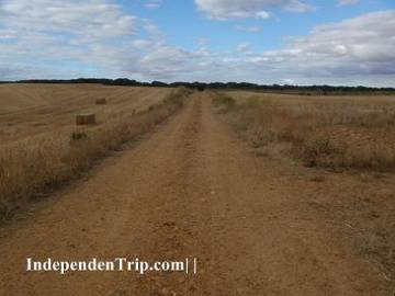
We take a right and leave the village on a slope which become a path. On leaving the town we have to take a small turn to the right to get to a dirt track that runs parallel to the N-630 (photo 2 km 2.1) for 2.7 km until it gets to the ZA-123 (photo 3 km 2.7). We take a right and then a left just before the national road and continue parallel to the highway (photo 4 km 3.0).
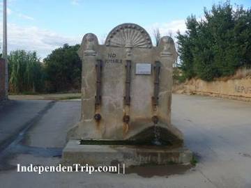
We cross Santovenia along the road “calle de Medio” and just before we leave the town we will see a fountain on our right (photo 5 km 9.6). We turn right and the path becomes a dirt track that leads downhill for 1 km back to the N-630 entering by the town cemetery (photo 6 km 10.5).
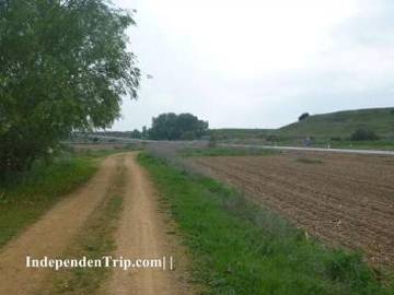
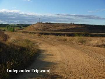
We continue along the N-630 but we leave it after a few meters to follow a path that runs parallel to the highway (photo 7 km 12.9) until Villaveza del Agua where once again we return to the N-630 to cross the village and then back to the parallel path. We follow the path (photo 8 km 17.2) until Barcial del Barco where we join again the road N-630. Where the path joins with the N-630 we find the Hostel “Hostel de Eras”.
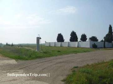
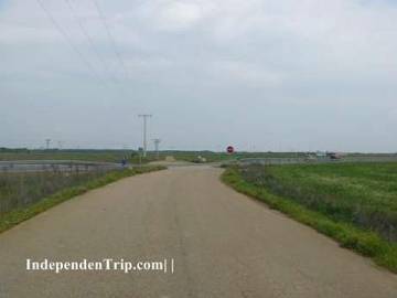
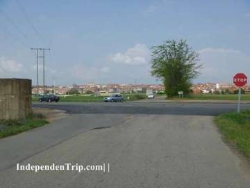
We cross Barcial del Barco and at the town exit we take a road which leads to the right (photo 9 km 18.2). This road crosses the N-630 at 19.0 km (photo 10) and continues parallel along the other side of the N-630.
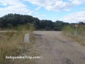
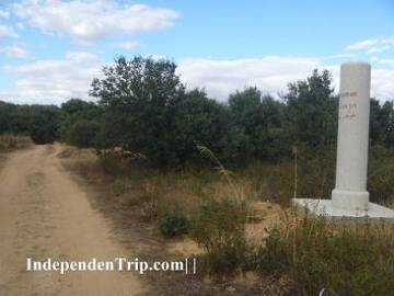
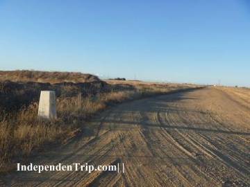
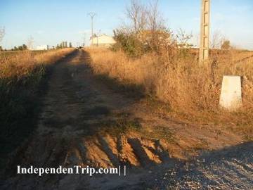
Arriving at the 20.1 km mark (photo 11) there is a diversion to the left. This was part of the old camino but now the stone signs direct us to continue along the path straight ahead.
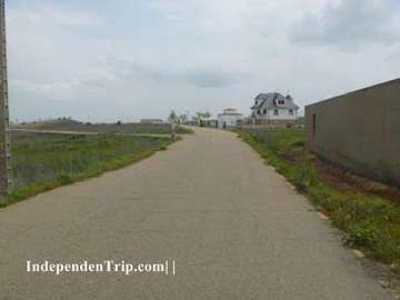
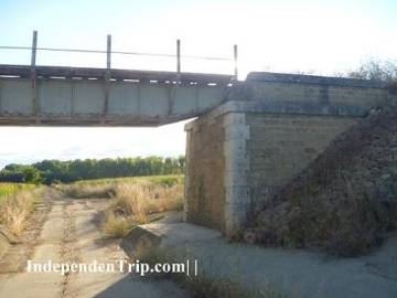
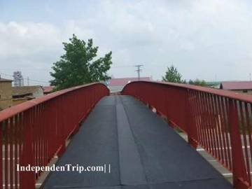
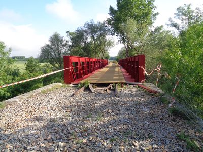
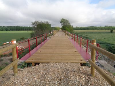
If we choose the way marked with green we continue until we pass through a tunnel beneath the railway (photo 12a) and continue along the road parallel to the raiway. 200 metres after we pass a small white house we will have to go up to the railway and cross the bridge (photo 13a). After the bridge we enter Villanueva de Azoague.
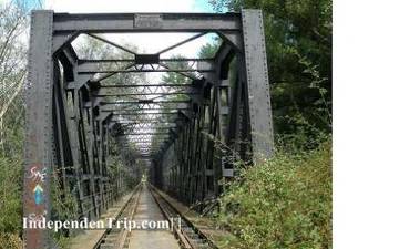
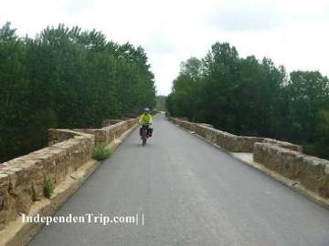
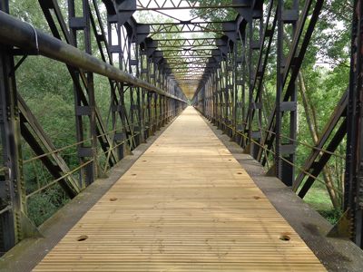
If we decide to continue straight we will not get lost, we just have to follow the markers (photos 12, 13 and 14) crossing Castropepe until the motorway that we cross over a bridge (photo 15). Just after crossing the bridge we take a left to cross a stone bridge above the river (photo 16 km 25.3). We continue along this small road until the N-525 (photo 17 km 28.8) where we take a left to enter Benavente.
If you choose the way marked with green we travel 4.6 km less but there is a greater chance of getting lost.
The two roads meet at the entrance to Benavente.