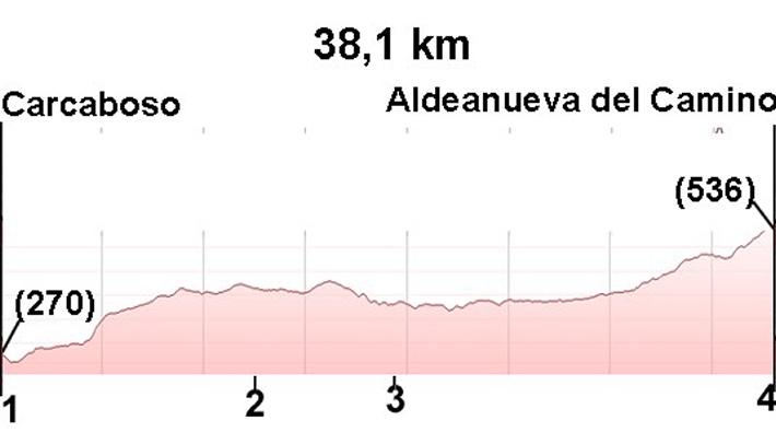
18.Carcaboso–Aldeanueva
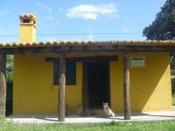
Stage Hostels
18.Carcaboso–Aldeanueva
Sections
(1)Carcaboso - (2)Ventaquemada: 0-11,8 km
(2)Ventaquemada- (3)Cáparra: 11,8- 17,9 (6,1 km)
(3)Cáparra - (4)Aldeanueva del Camino: 17,9 - 38,1 (20,2 km)
Description
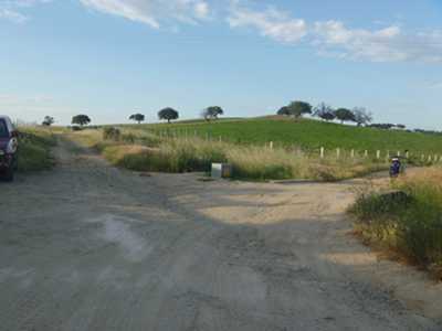
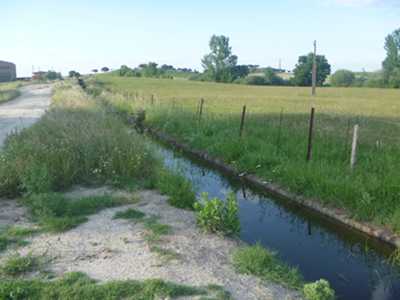
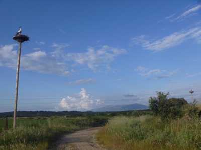
We leave Carcaboso by turning down the farmacia street and the Pozo street. We leave the village and after 0.9 km must take a left turn (photo 1). To our right is a canal that we follow (photo 2 km 1.2). After 300 meters the arrows indicate to take the right path but it is recommended that you continue to go straight alongside the canal on our right (photo 3 km 2.4). At km 4.2 we reach a road, always with the canal on our right. Those who took the right road at km 1.2 are join here from the other side of the canal (photo 4 km 4.2).
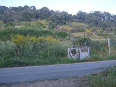
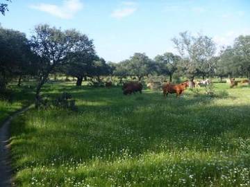
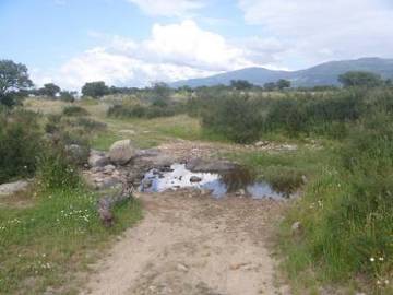
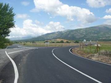
After 100 meters we turn left and go through a fence at the 4.3 km mark to take the path on the right (photo 5). There is an ascent of 1.4 km to reach the km 5.8 where you turn right (photo 6). The path of trodden earth becomes a trail that runs more or less parallel to a stone wall. Here we are in a spectacular setting of meadow (photos 7 and 8). We will follow the wall, first having it on our right before crossing a fence and following the path parallel to the wall, but now its to our left. We continue following this stone wall for 6 km to Ventaquemada at km 11.8 (photo 9).Watch out at Km 10.4! You have to cross the gate. View photo
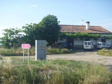
Upon reaching Ventaquemada we find a road. If we turn right and take the road to the lodge we will stop at the hostel Oliva de Plasencia and if we continue straight ehead we getto Cáparra Arch. If we decide to go to the Hostel Oliva de Plasencia (see alternative route in green) we will have done 7.5 km extra
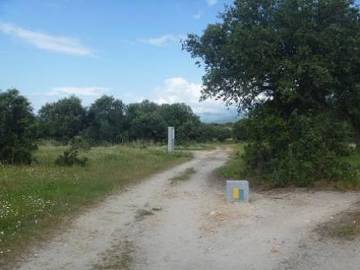
If we follow the right path, at km 17.3 we find a crossing (photo 10). Those who have slept in Oliva de Plasencia return to this point of the road. At 600 meters and see the Arc de Caparra appear (photo 11 km 17.9).
If we are tired at this point, we have the option of calling the Hostel Asturias to come and pick us up.(see hostels)
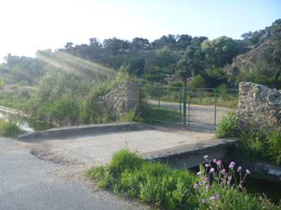
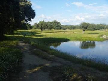
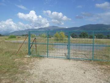
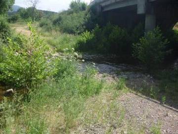
We pass beneath the arch and continue straight on. We cross a road and then follow a path similar by which we arrived (photos 12 and 13). We have to cross 2 streams and 3 fences, at some of which, depending on the time of year, we will get wet. At km 23.3 (photo 14) we come to a road where we take a left a leading to another road (photos 15 and 16) that leads to the bridge below the A-66 and below the N-630, at km 30.0 (photo 17). In theory we should be able to cross the stream between the bridges of the A-66 and N-630. But as its almost always flowing, it is best to stick to the right and climb to the N-630 along which we will continue for 700 meters until we can return to the path. If we cross the stream will follow the path until we reach the N-630.
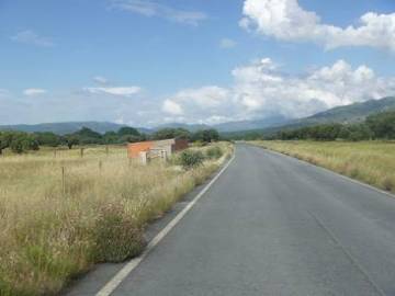
If cycling it is recommended we continue along the N-630 to Aldeanueva, as the other way is very bad for bikes and the way along the road is 1.5 km shorter.
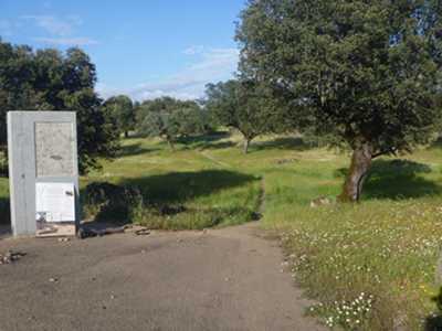
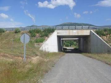
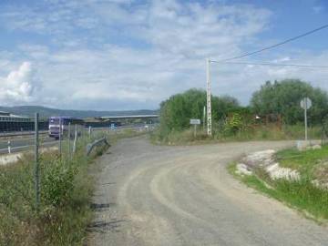
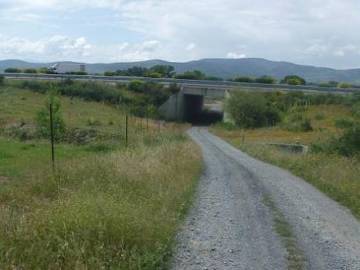
At km 31.3 we will take a service road parallel to the road that will take us through a tunnel to cross the A-66 (photo 18). Just after the highway we turn to the left, after 400 meters we take a right (photo 19). We continue along for just over 3 km (photo 20) until at km 35.0 where we find a livestock shelter between two fences and we continue straight on (photo 21). At km 36.4 we turn to cross through a tunnel the A-66 (photo 22) and we join the N-630.
Five meters past the entrance to Aldeanueva del Camino (photo 23 km 37.3) we take the right which leads us to the Olivas street (foto 24 km 37,7) where we find the hostel on our left.
Photos
1 km 0.9
2 km 1.2
3 km 2.4
4 km 4.2
5 km 4.3
6 km 5.8
7 km 7.9
8 km 11.2
9 km 11,8 Ventaquemada
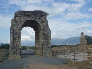
10 km 17,9 Arco de Caparra
11 km 20.4
12 km 22.4
13 km 23.3
14 km 27.0
15 km 28.0
16 km 30.0
17 km 31.3
18 km 31.8
19 km 35.0
20 km 36.4
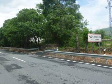
21 km 37.3