19.Ponte Ulla-Santiago
Stage Hostels
STAGE
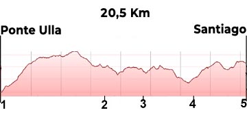
Sections
(1)Ponte Ulla-(2)Rubial (0-8,4km)
(2)Rubial-(3)Susana (8,4-11,8=3,4 km)
(3)Susana-(4)Piñeiro (11,8-15,9=4,1km)
(4)Piñeiro-(5)Catedral de Santiago de Compostela (15,9-20,5=4,6km)
Description
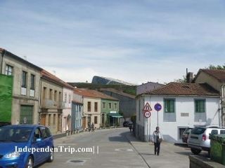
We cross Ponte Ulla by the main street, which once again is the N-525, taking us to the edge of town, where we take a path on the right going uphill that will lead to a small road (photo 1 km 1,7) and to a path (photo 2 km 3,2) which, from there will take us to the Outeiro Hostel.
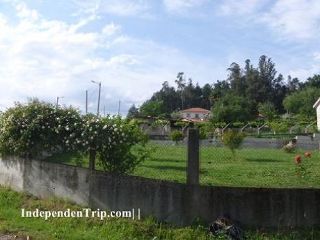
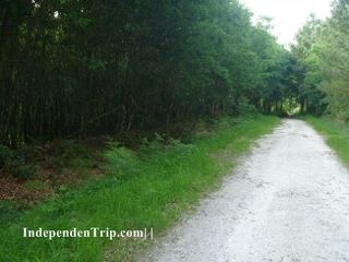
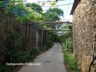
We leave the hostel Outeiro along a forest track between eucalyptus trees. Continuing straight, and ignoring the various crossroads (photo 3 km 4.7). At 2.9 km (photo 2) we arrive at a stone cross where we turn right and continue on a tarmacadam road. Surrounded by houses scattered among vines we reach a point where the arrows indicate to continue straight and the landmark of St. James twhich leads to the right. We continue past the landmark and arrive at Rubial (km 8.4).
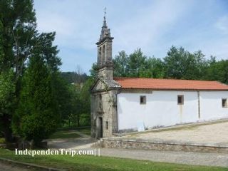
We leave Rubial along a small tarmacadam road (photo 5 km 8,5 and photo 7 km 9.6) and continue along it between scattered house until we arrive to the small village Susana (photo 7 km 11.8) where we cross the N-525. Approximately 1 kilometre after the N-525 we cross a bridge over railroad tracks. After the bridge we take a left up a steep incline and are then faced with a steep drop overlooking a valley. We continue along a small tarmacadam road (photo 8 km 13,2) and pass through the small village of Aldrei (photo 9 km 13.7). A short while after the exit of Aldrei we cross the railroad tracks. We continue (photo 10 km 14.5) and after several turns reach the chapel of Santa Lucía (photo 11 km 15.6). Two hundred metres afterwards we arrive at Piñeiro (photo 10 km 11.7), where we begin a descent down the street Camino Real de Pineiro, which soon becomes the camino. Always climbing, we cross under the AP-9 and, often, over railroad tracks. A short break from the ascent as we enter Angrois and then back to the climb along Camiño Real de Angrois.
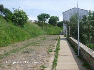
After crossing the highway we take a paved road now going downhill, along the road of Sar (photo 14 km 18.4) we continue (photo 15 km 18.7) across the N-550 through a tunnel. We follow the Rua du Sar, which later becomes Rua du Castron Douro, which leads us to the wider street of Rua da Fonte de San Antonio, where we turn left. We will continue a few meters to turn right along Rua das Orfas and then take the Rua Nova which takes us to the End of the camino: the Cathedral of Santiago de Compostela.
Photos
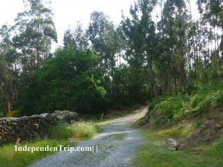
1 km 1,7
2 km 3,2
3 km 5,7
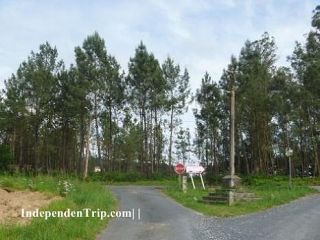
4 km 7,1
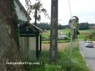
5 km 8,5
6 km 9,6
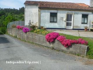
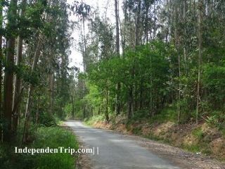
7 km 11,8
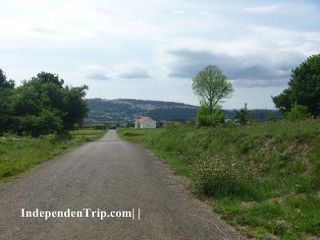
8 km 13,2
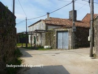
9 km 13,7
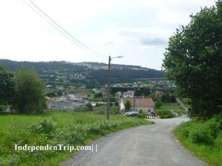
10 km 14,5
11 km 15,6
12 km 15,9
13 km 18,4