Sections
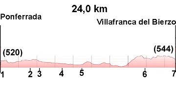
(1)Ponferrada-(2)Columbrianos: 0-5,3 km
(2)Columbrianos-(3)Fuentes Nuevas: 5,3-8 (2,7 km)
(3)Fuentes Nuevas-(4)Camponaraya: 8-9,8 (1,8 km)
(4)Camponaraya-(5)Cacabelos: 9,8-16 (6,2 km)
(5)Cacabelos-(6)Pieros: 16-18 (2,0 km)
(6)Pieros-(7)Vantuille de Arriba: 18-19,8 (1,8 km)
(7)Vantuille de Arriba-(8)Villafranca del Bierzo: 19,8-24 (4,2 km)
Elevation Gain: 325 m
Elevation Loss: 301 m
Description
Easy stage with a notable climb upon exiting Cacabelos. The first part of the stage passes through towns close to Ponferrada, while in the second part, vineyards dominate the landscape.
(1)Ponferrada-(2)Columbrianos: 0-5,3 km
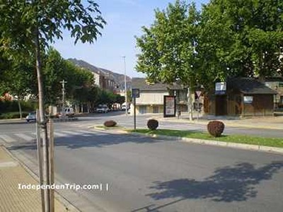
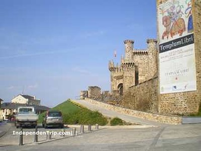
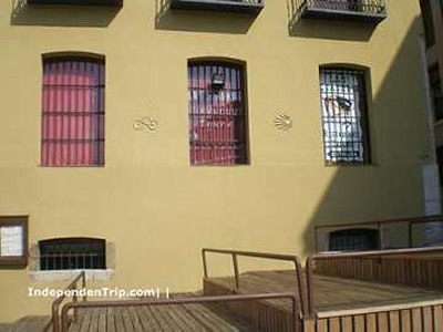
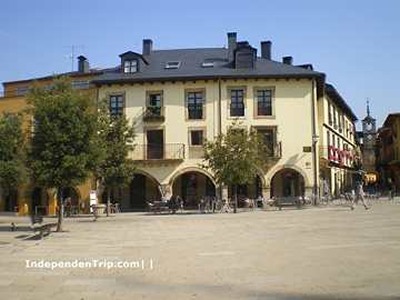
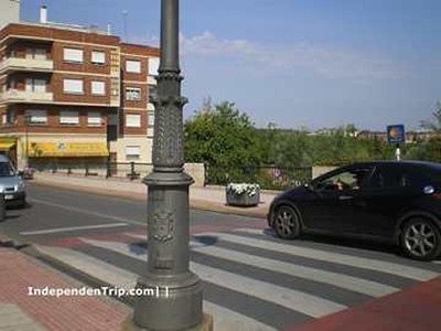
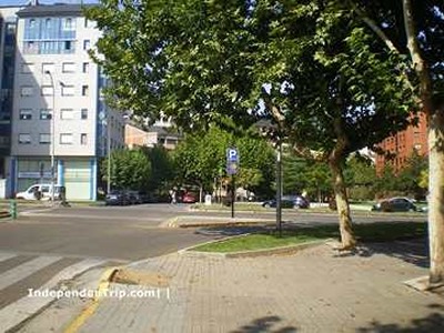
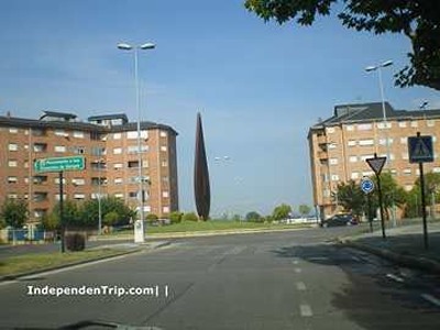
We leave the Ponferrada hostel via Avenida del Castillo until we reach a roundabout (photo 1) where we turn right onto Calle Pregoneros, which takes us to the Castle of the Temple (photo 2). We leave the castle on the left and continue along Calle Gil y Carrasco (photo 3) which leads us to Plaza de la Encina (photo 4). We leave the plaza by the stairs on Calle del Rañadero until reaching Avenida de la Puebla (photo 5) where we turn left. We cross a bridge over the Sil River and turn right onto Avenida de las Huertas del Sacramento (photo 6). We follow the avenue until the Monument to Blood Donors (photo 7), where we turn right onto Avenida de la Libertad (photo 8). After the roundabout, we turn right onto Avenida Segunda and continue straight (photos 9, 10, 11, and 12) until we reach the main road (photo 13). We continue straight until we reach the Church of San Blas and San Roque (photo 14) in Columbrianos.
(2)Columbrianos-(3)Fuentes Nuevas: 5,3-8 (2,7 km)
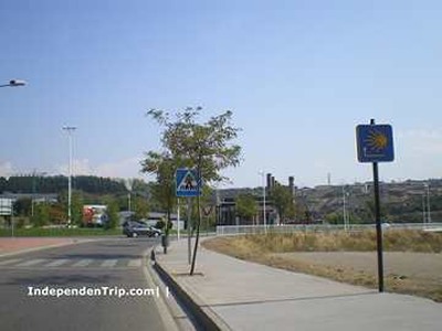
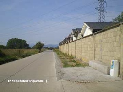
We follow a small road out of Columbrianos (photo 15) until we arrive at Fuentes Nuevas.
(3)Fuentes Nuevas-(4)Camponaraya: 8-9,8 (1,8 km)
We follow the same road, passing a cemetery (photo 16) until reaching the road entering Camponaraya (photo 17).
(4)Camponaraya-(5)Cacabelos: 9,8-16 (6,2 km)
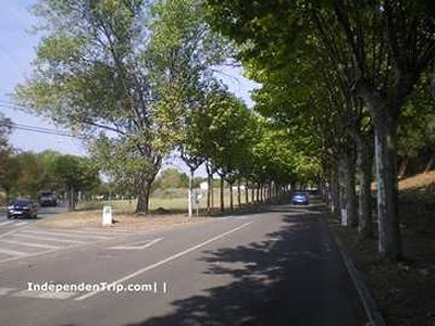
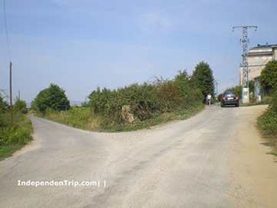
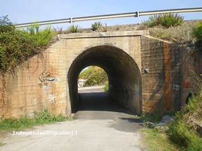
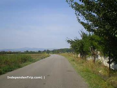
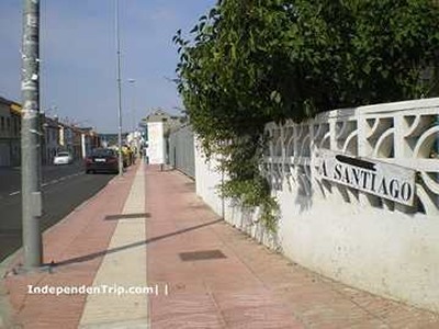
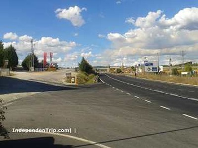
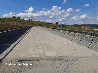
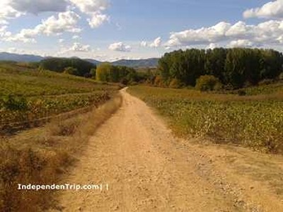
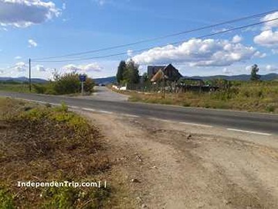
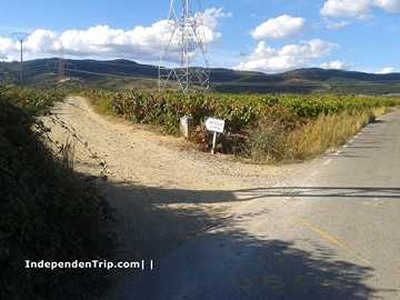
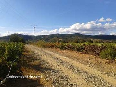
We cross Camponaraya via the main street and exit onto the road. Upon leaving the town, at km 11.4, we leave the road (photo 18) and turn left onto a track that leads to the bridge crossing the road (photo 19). A dirt path between vineyards (photo 20) takes us to the crossing of a secondary road (photo 21). We continue straight and walk along a small asphalt road into Cacabelos.
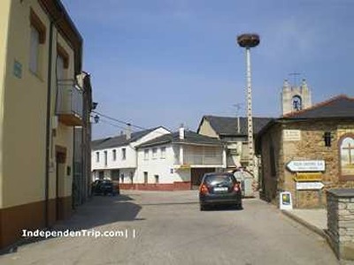
(5)Cacabelos-(6)Pieros: 16-18 (2 km)
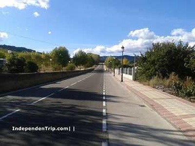
We cross Cacabelos via Calle Cimavilla, pass the church of Santa Maria, and cross the Cúa River, a tributary of the Sil. We continue straight on the road (photo 22), which leads us on a steep climb to Pieros.
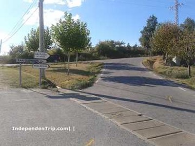
(6)Pieros-(7)Vantuille de Arriba: 18-19,8 (1,8 km)
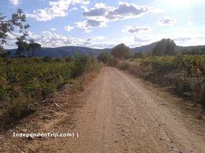
We leave Pieros on the right and continue climbing the road until we turn right (photo 23) onto another secondary road. We follow this road for 300 meters and turn left onto a dirt path through vineyards (photo 25) that takes us to Vantuille de Arriba (photo 26).
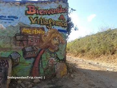
(7)Vantuille de Arriba-(8)Villafranca del Bierzo: 19,8-24 (4,2 km)
We cross Vantuille following the arrows and take a dirt path (photos 27 and 28) that leads us to Villafranca.