Sections
(2)Hostel Fuenterroble de Salvatierrra - (2)Final finca: 0-8,5 km
(2)Final finca - (3)Alto y Cruz: 8,5-14,7 (6,2 km)
(3)Alto y Cruz - (4)Calzadilla de Mendigos: 14,7-21,2 (6,5 km)
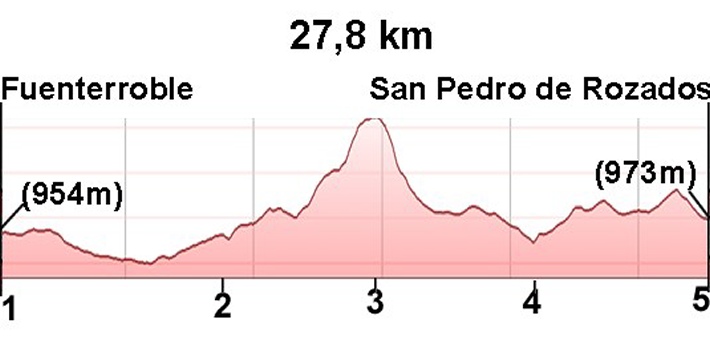
(4)Calzadilla de Mendigos - (5)San Pedro de Rozadas: 21,2-27,8 (6,6 km)
Description
Alternative via Pedrosillo
At kilometer 11.7 (see photo), we have the option to take the route via Pedrosillo, which will take us to the village of Morille, bypassing the village of San Pedro de Rozados (see next stage: 23. San Pedro-Salamanca). In this stage, climbing to the peak of Dueña is avoided, making this stage shorter (two kilometers less) and flatter until Morille. For cyclists, this alternative via Pedrosillo is suitable for cycling.
Official Route
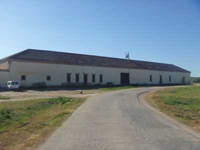
This stage is the longest in the Via de la Plata with no towns between Fuenterroble de Salvatierra and San Pedro de Rozados (the only thing we might be able to get is some water in Calzadilla de Mendigos (photo 11). Go prepared with food and water.
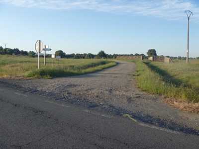
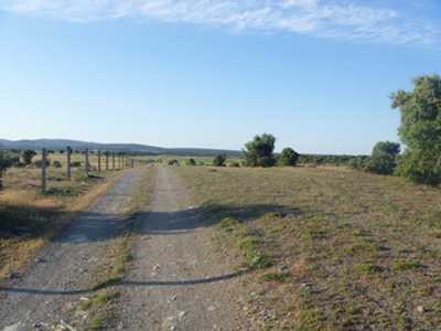
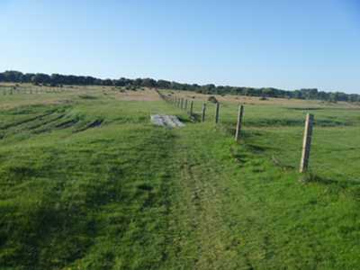
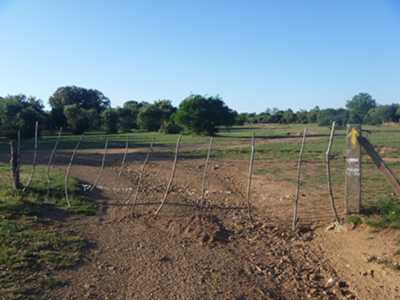
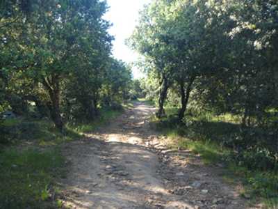
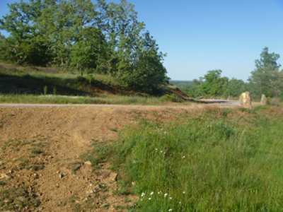
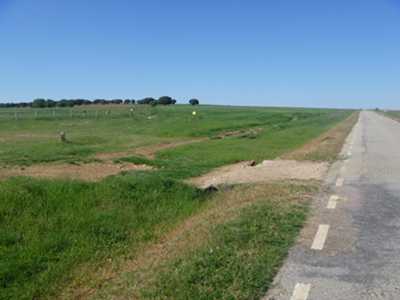
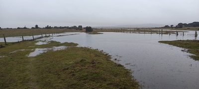
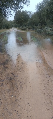
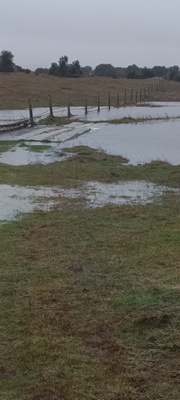
We leave the Hostel of Fuenterroble along the highway DSA-230 for 1.3 km where we reach a right turn (photo 1 km 1.3) onto a solid and wide dirt track, that gradually becomes a path and then a grass trail (photos 2 and 3). From the highway exit to the end of the property, we travel 7.2 km mostly between two fences, one on the right and one on the left which continue with us as far as the fence that indicates the end of the estate (photo 4 km 8.5).
Just past this fence we have two options; we can continue on straight ahead (recommended for those walking), or take a left (recommended for cyclists).
The option for cyclists is 1.5 km longer. We arrive in the town of Navarredonda de Salvatierra and continue in the direction of Frades de la Sierra. Before arriving to Frades there is a left turn and we start the climb to Pico de Dueñas. On the decline we will rejoin the path which the walkers took (photo 9 km 15.8).
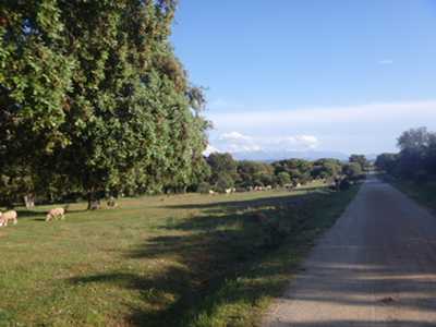
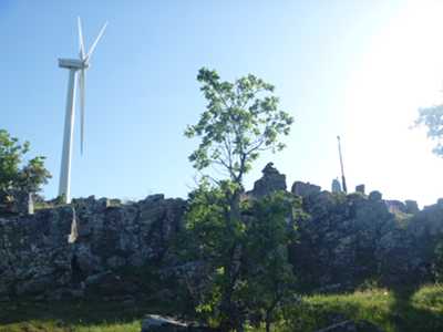
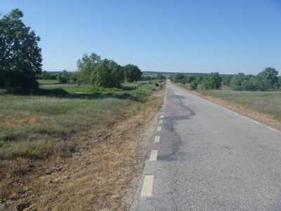
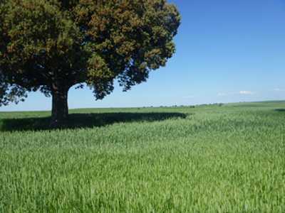
If you continue on foot from the end of the estate (photos 5, 6 and 7), climb to the peak where there is a cross. There is a 6.2 km incline (photo 8 km 14.7) which will rise 230 meters. The descent, shorter, leads to a road where we take a right (photo 9 km 15.8).
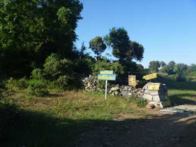
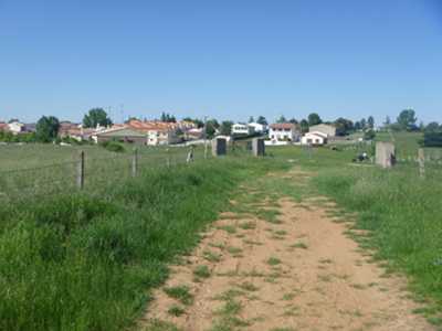
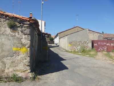
We follow the road (photo 10 km 18.8) and at km 21.2 we find a farm called Calzadilla de Mendigos (photo 11). We continue to the 25.4 km mark where we take a path on our right hand side (photo 12 km 25.4) that leads us to the entrance of San Pedro de Rozados (photos 14 and 15).