1.Sevilla-Guillena
Stage Hostels
1.Sevilla-Guillena
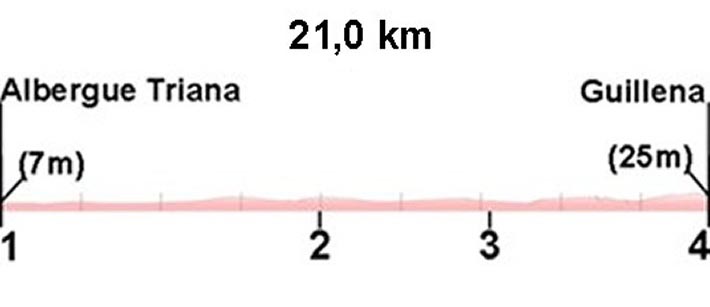
Sections
(1)Hostel Triana - (2)Ruinas Itálica: 0-10,0 km away
(2)Ruinas Itálica - (3)Arroyo de los Molinos: 10,0-15,5 km (5,5 km)
(3)Arroyo de lo Molinos - (4)Hostel Guillena: 15,5 - 22,2 km (6,7 km)
Description
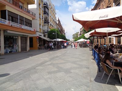
We leave the Triana hostel turning right until the end of the street, where we turn right again on the pedestrian street San Jacinto(photo 1 Km 0.2). Before arriving at the Puente de Triana (Isabel II Bridge) turning left by the market.
If we start the Via de la Plata at the Cathedral, we have to continue down the street Adriano and then cross the bridge of Triana.
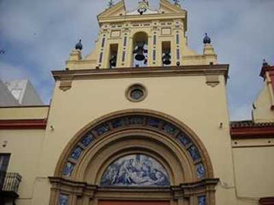
We continue down the street Castilla for 1.4 km until Cachorro's Church (photo 2). A few meters from the church we will find some stairs that will lead to a pedestrian crossing on the main road near a roundabout. We cross the two roads and a few meters on we cross the bridge over the Guadalquivir River (photo 3 km 2.3). The river that runs through the center of Seville is a canal constructed by a man who thought this would be the original course of the river.
At the end of the bridge after 2.5 km, we will see some signs painted in yellow: continue straight ahead for lits (lits is a village on the outskirts of Seville) or turn right for the river (photo 4 km 2.5). In this guide we recommend following the river. If you continue for lits cross the center of town and through an industrial area.
We follow a path parallel to the river (photo 5 km 3.2) and at km 4.1, we will see a house that functions as a kennel (you will probably hear the barking of dogs), where we have to abandon the path along the river and turn the left (photo 6).
At the end of the bridge after 2.5 km, we will see some signs painted in yellow: continue straight ahead for lits (lits is a village on the outskirts of Seville) or turn right for the river (photo 4 km 2.5). In this guide we recommend following the river. If you continue for lits cross the center of town and through an industrial area.
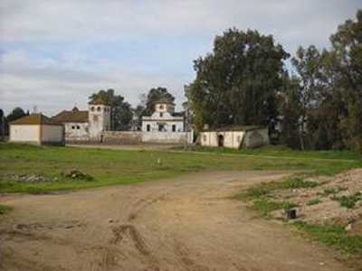
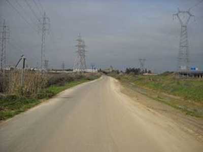
We follow a well-marked road, passing under the SE-30 and later under the A-66, called the Ruta de la Plata Highway (photo 7). We continue until a roundabout where we turn left to pass under the N-630, on a road called Ruta de la Plata. We enter into Santiponce via the road Extremadura, and 10 km from Seville we find the Ruins of Italica (photo 8).
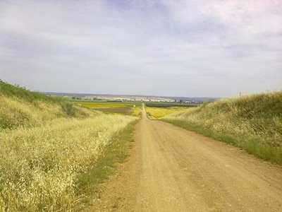
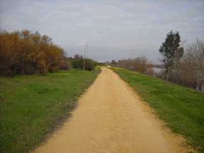
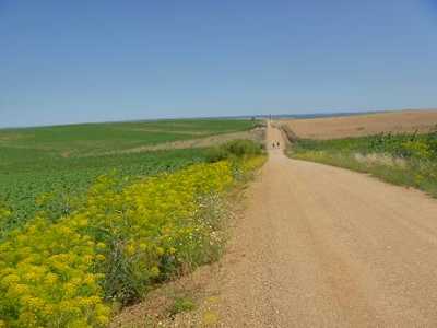
We continue along the road of Extremadura, until we reach a large roundabout and follow the path marked below the highway A-66. Just after the highway turn left and leave the road. We find then a dirt road through fields of sunflowers, cotton and barley (photo 9).
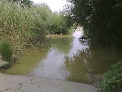
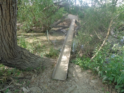
In 15.5 km we find the Stream Los Molinos (photo 10,11). Although there was a project to draw the stream further, this idea has been years in the pipeline and at the moment is still incomplete. They have put in place a large beam for crossing (see photo).If you walk the walk in summer or autumn probably the stream will be completely dry, but in winter and spring it will still be full of water. If it is impossible to cross, we must return back a few meters and turn right (on the map is indicated in green) leading to the N-630 where we will continue to 'Venta de Ana Velazquez' where we turn right towards Guillena.
If you can cross follow the way. You will reach the road (up to a gas station) where you will enter Guillena by the Avenida de Andalucia.
Photos
2.Km0.2
3.Km1.4
4.Km 2.3
5.Km 2.5
6.Km 3.2
7.Km 4.1
8.Km7.0
9.Km 10.0
10.Km 14.4
10.Km 14.4
11.Km 15.5