Sections
Chantada (1)-Casasoa (2): 0-1,7 km away
Casasoa (2)-Puente Carretera (3): 1,7-5,0 (3,3 km)
Puente Carretera (3)-A Lucenza (4): 5,0-5,7 (0,7 km)
A Lucenza (4)-Penasillás (5): 5,7-8,4 (2,7 km)
Penasillas (5)-Memorial Uxio Novoneyra (6): 8,4-11,0 (2,6 km)
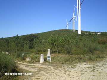
Memorial Uxio Novoneyra (6)- Entrance Aerogeneradores (7): 11,0-13,4 (2,4 km)
Entrance Aerogeneradores (7)-Central eléctrica (8): 13,4-17,8 (4,4 km)
Central eléctrica (8)-Mojón Concello de Rodeiro (9): 17,8-18,7 (0,9 km)
Mojón Concello de Rodeiro (9)-Hermida (10): 18,7-21,5 (2,8 km)
Hermida (10)-River (11): 21,5-23,3 (1,8 km)
River (11)-Rodeiro (12): 23,3-25,6 (2,3 km)
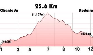
Total Ascent: 786m / Total Descent: 634m
Description
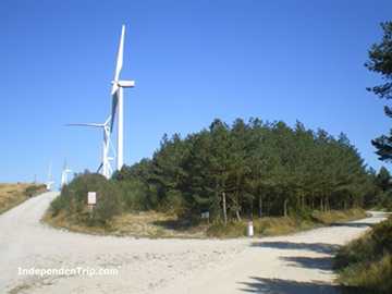
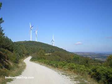
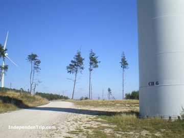
This stage passes through the highest point of the Camino de Invierno at 1,107 meters. From Chantada to Penasillas (8.5km), the stage is in a slight uphill.
In Penasillas, right across from Taberna do Peto, we have two options: the official path (yellow) or the variant through Mouricios and Ferreiros (green). The variant is 1.5km shorter and with much less cumulative elevation gain (380m of ascent in the variant compared to 600m in the official path). Choosing the variant makes this stage considerably easier, but you will miss the views from the ascent to Sierro do Faro.
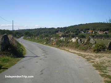
For the descent, you can either follow the trail or take the road to Rodeiro. Using the road is recommended only for cyclists.
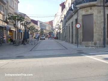
The only services along the route are Taberna do Peto and a fountain in Penasillas. In Rodeiro, you'll find all the services you need.