Sections
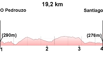
(1) O Pedrouzo - (2) Lavacolla: 6.9-8.8 km
(2) Lavacolla - (3) Monte do Gozo: 8.8-14.4 (5.6 km)
(3) Monte do Gozo - (4) Santiago Cathedral: 14.4-19.2 (4.8 km)
Elevation gain: 396 m
Elevation loss: 410 m
Description
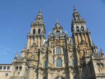
The final stage, the most anticipated. Only the climb to Monte do Gozo requires some effort, but it's hardly felt due to the proximity of Santiago Cathedral. Not even the entry into the city on the road can dampen the spirit of the pilgrim, who finally arrives at Plaza del Obradoiro.
(1) O Pedrouzo - (2) Lavacolla: 6.9-8.8 km
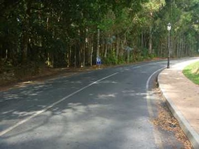
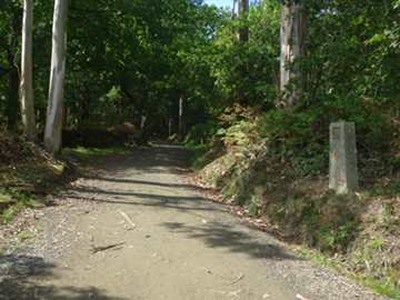
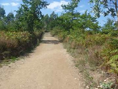
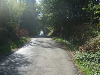
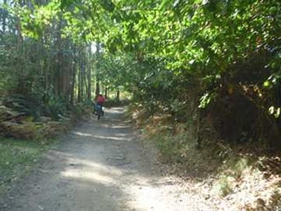
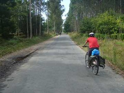
If you've arrived in O Pedrouzo via the N-547 road, turn right onto Calle do Concello, which is roughly in the middle of the town. This street will take you to the path, next to some industrial warehouses. Just past the warehouses, leave the road for a small path through eucalyptus trees (photo 1). This path (photos 2 and 3) first leads to the village of San Antón and later to the village of Amenal. We continue along a paved track, and after crossing the Brandelos river, we pass under the N-547 through a tunnel, followed by a steep climb to the village of Cimadevila.
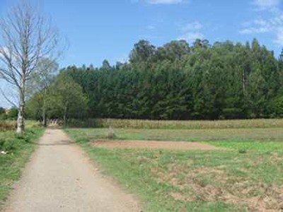
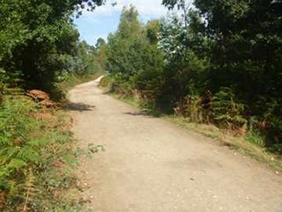
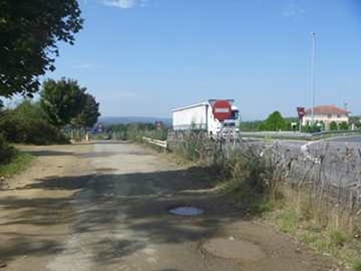
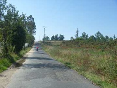
After Cimadevila, a dirt road (photos 4 and 5) takes us to the outskirts of the A-54 highway (photo 6). At this point, the path turns left and enters the narrow corridor between the highway and Santiago's airport (photo 7), the most important in Galicia. We skirt the airport and reach the small village of San Payo, leaving through a small road amidst vegetation (photo 8). We cross the AC-250 road and continue (photo 9) until the town of A Esquipa (photo 10) and Lavacolla, which are connected.
(2) Lavacolla - (3) Monte do Gozo: 8.8-14.4 (5.6 km)
This section is mostly uphill.
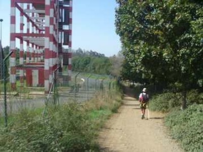
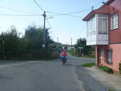
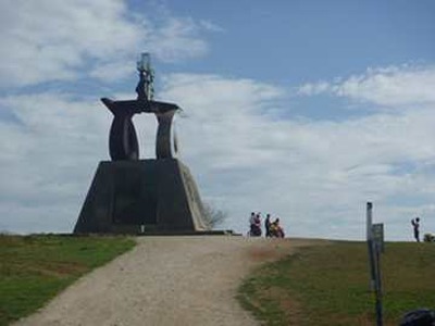
After a sharp bend, we pass by the parish of San Pelayo and cross the N-634a. A few meters further, we take a turn that leads uphill to Villamayor (photo 11). We cross Villamayor, still uphill (photo 12), passing near the TGV center and later the regional RTVE center. We continue on a paved track (photo 13) until we reach the small town of San Marcos, the gateway to Monte do Gozo (photo 14). Monte do Gozo is named for being the first place where pilgrims can see Santiago Cathedral, evoking immense joy.
(3) Monte do Gozo - (4) Santiago Cathedral: 14.4-19.2 (4.8 km)
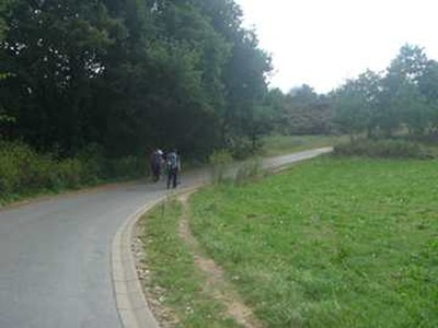
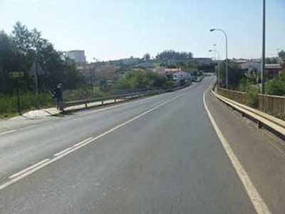
The descent from Monte do Gozo takes us to some stairs and a road that leads us into Santiago (photo 15). We cross several bridges over the AP-9 highway, the railway, and the ring road. The road becomes Rua de San Lázaro, which we follow until we turn left onto Rúa dos Valiños and continue straight on Rúa dos Concheiros and Rúa de San Pedro, which brings us to the entrance to the historic center. The ancient streets of Santiago lead us to Plaza del Obradoiro, the grand finale to a unique experience.