28.Portomarin-Palas de Rei
Stage Hostels
STAGE
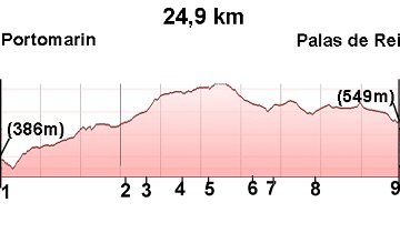
Sections
(1)Portomarín-(2)Gonzar: 0-7.8 km
(2)Gonzar-(3)Castromaior: 7.8-9 (1.2 km)
(3)Castromaior-(4)Hospital de la Cruz: 9-11.4 (2.4 km)
(4)Hospital de la Cruz-(5)Ventas de Narón: 11.4-12.9 (1.5 km)
(5)Ventas de Narón-(6)Ligonde: 12.9-15.9 (3 km)
(6)Ligonde-(7)Airexe: 15.9-17 (1.1 km)
(7)Airexe-(8)Lestedo: 17-19.7 (2.7 km)
(8)Lestedo-(9)Palas de Rei: 19.7-24.9 (5.2 km)
Elevation gain: 620 m
Elevation loss: 457 m
Description
Almost the entire stage follows the route of various provincial roads. Many small villages, typical of this area of Galicia, are crossed.
(1)Portomarín-(2)Gonzar: 0-7.8 km
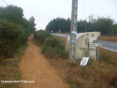
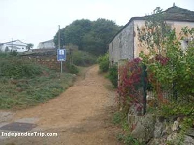
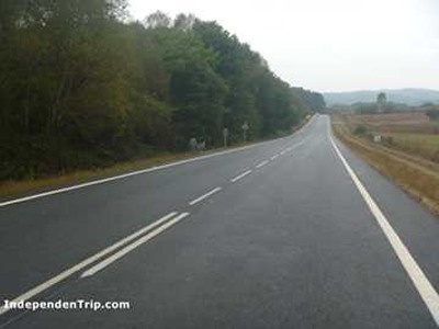
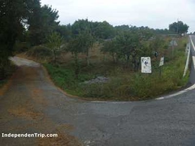
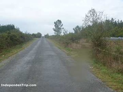
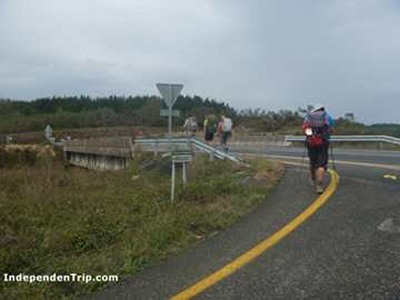
We leave Portomarín via Chantada Street, which leads us to the road. At this point, we must take a pedestrian bridge (photo 1) to cross the river. After crossing the river, we turn right and take a dirt road that climbs up to the LU-633 road (photo 2). Following a path parallel to the road, we reach the four houses of Toxibo (photo 3). We continue in the same direction along the road, somewhat separated by trees, before reconnecting with the road (photo 4) and arriving in Gonzar.
(2)Gonzar-(3)Castromaior: 7.8-9 (1.2 km)
At the end of Gonzar, we leave the road via a left-hand turn (photo 5) that leads us to Castromaior.
(3)Castromaior-(4)Hospital de la Cruz: 9-11.4 (2.4 km)
We cross Castromaior and at the end of the village, encounter a steep 700-meter slope (photo 6) leading up to the LU-633 road. We follow it to kilometer 11 (photo 7), where we leave it via a path leading to Hospital de la Cruz.
(4)Hospital de la Cruz-(5)Ventas de Narón: 11.4-12.9 (1.5 km)
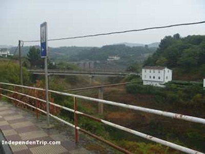
After passing Hospital de la Cruz, we cross a bridge over the N-540 (photo 8). At the end of the bridge, we take a small road to the right, leading us directly to Ventas de Narón.
(5)Ventas de Narón-(6)Ligonde: 12.9-15.9 (3 km)
We cross Ventas de Narón and continue on the same road (photo 9), which climbs up to Ligonde (photo 10).
(6)Ligonde-(7)Airexe: 15.9-17 (1.1 km)
We continue on the same road with a gentle ascent until we reach Airexe (photo 11).
(7)Airexe-(8)Lestedo: 17-19.7 (2.7 km)
Following the same road (photo 12), we pass through the small village of Portos and later arrive in Lestedo.
(8)Lestedo-Palas de Rei: 19.7-24.9 (5.2 km)
Continuing along the same road (photo 13), we pass through the small villages of Os Valos and A Mamurria until reaching A Brea (photo 14), where the small road we were on merges with the N-547 highway. We exit A Brea via a path that soon merges with the road (photo 15). We follow the road’s path until reaching the small village of Avenostre, where we turn left, leaving the road, and heading towards O Rosario and Os Chacotes, where there is a hostel. Only a few meters remain to reach Palas de Rei, which we enter via Cruceiro Street.
Photos
1 km 0.7 Bridge
2 km 2.6
3 km 4.6
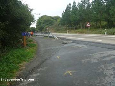
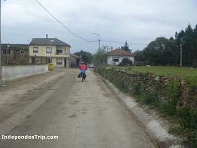
4 km 6.7
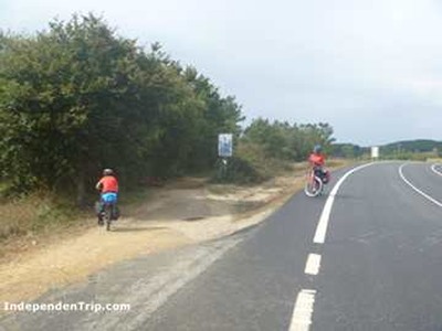
5 km 8.0
6 km 9.5
7 km 11.0
8 km 11.7
9 km 14.5
10 km 15.9 Ligonde
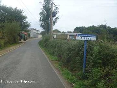
11 km 17.0 Airexe
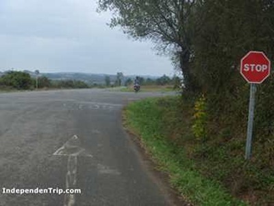
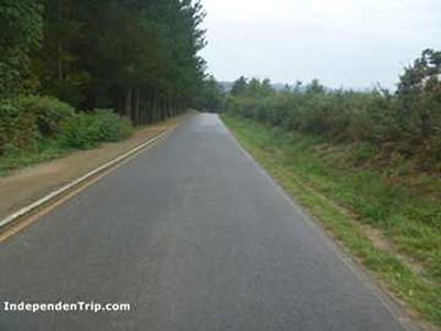
12 km 18.0 Road crossing
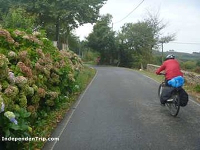
13 km 20.7
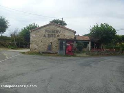
14 km 21.7