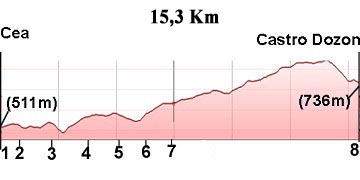
16.Cea-Castro Dozon
Stage Hostels
STAGE
Sections
(1)Cea-(2)Porto do Souto (0-1,1 km)
(2)Porto do Souto-(3)Cotela (1,1-2,0=0,9 km)
(3)Cotela-(4)Piñor(2,0-3,6=1,6 km)
(4)Piñor-(5)Arenteiro (3,6-5,1=1,5 km)
(5)Arenteiro-(6)O Reino (5,1-6,2=1,1 km)
(6)O Reino-(7)Carballeda (6,2-7,4=1,2 km)
(7)Carballeda-(8)Castro Dozon (7,4-14,9=7,5 km)
Description
For this stage there are two possibilities:
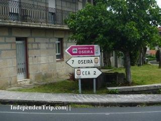
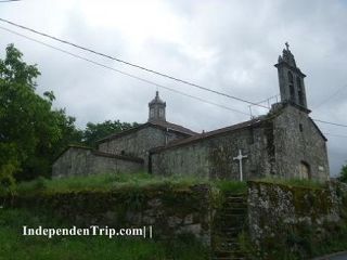
1.-By Monasterio de Oseira (in green on the map): this way is 4 km longer. On the plus side it allows us to visit el Monasterio de Oseira; the most important monastery in Galicia, inhabited by Cistercian monks.
2.-By Cotelas: This is the way outlined in this guide.
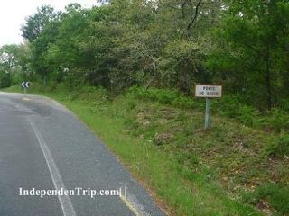
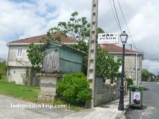
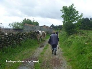
We leave Cea along the España street which leads to the OU-406/OU-402 highway which we don’t leave (photos 1 to 4) until km 6. We pass through the towns of Porto do Souto, Cotela, Piñor and Arenteiro until the 6 km mark (photo 5) at the entrance of the small town of O Reino where we leave the highway. Take a right and head in the direction of the N-525 which we cross (photo 6 km 6.6). Here we leave the tarmac and continue until the town of Carballeda (photo 7 km 7.4) where once again we join the N-525 highway.
We will follow the N-525 road for a few meters and then turn left. At this point, cyclists are advised to continue on the road.
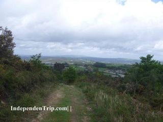
We continue and will pass over a bridge above the AG-53 motorway (photo 8 km 9.0), and 500 meters after the motorway, we leave the small road to follow a dirt path (photos 9, 10, and 11). Just before reaching Castro Dozón, this path merges with the road, which will cross the AG-53 motorway again.
Photos
1 km 1,4
2 km 2,0
3 km 3,6
4 km 5,1
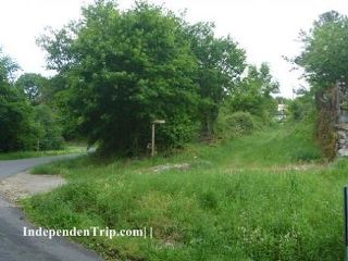
5 km 6,0
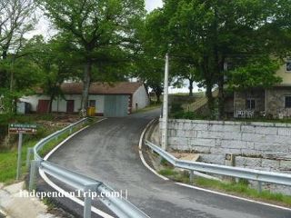
6 km 6,6
7 km 7,4
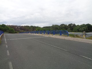
8 km 9,0
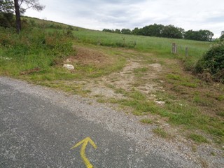
9 km 9,6
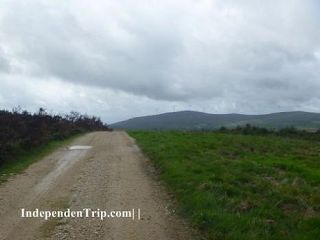
10 km 13,0